MISO is now live on Ask the Grid
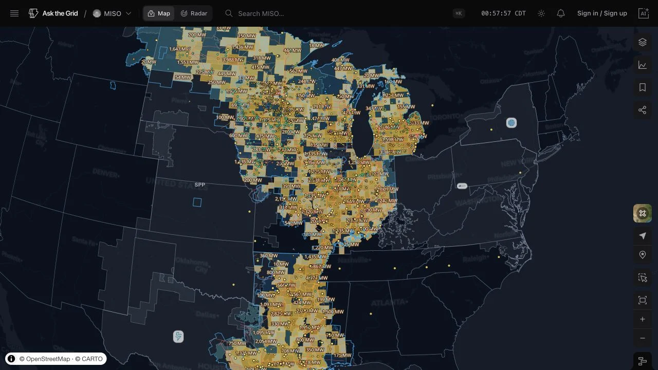
Explore MISO's live system, prices, footprint, infrastructure, weather, and interconnection queue on the Map and Radar—or query the same market through the grid agent and MISO MCP server.
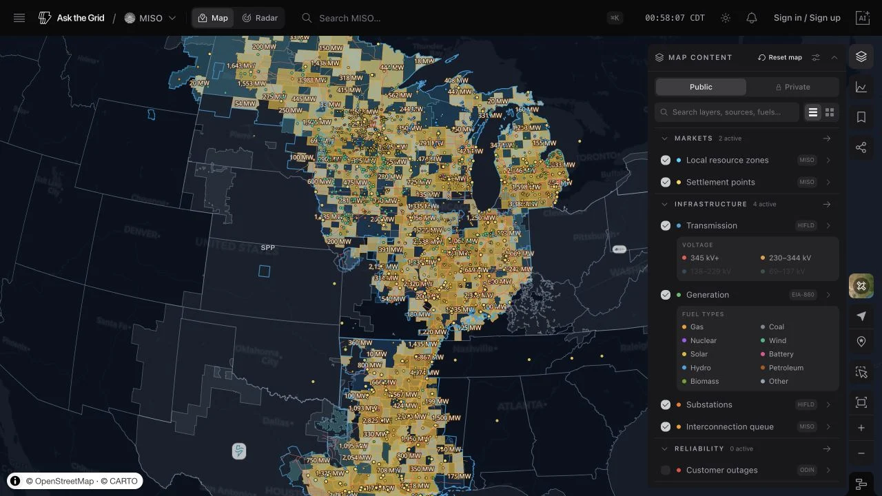
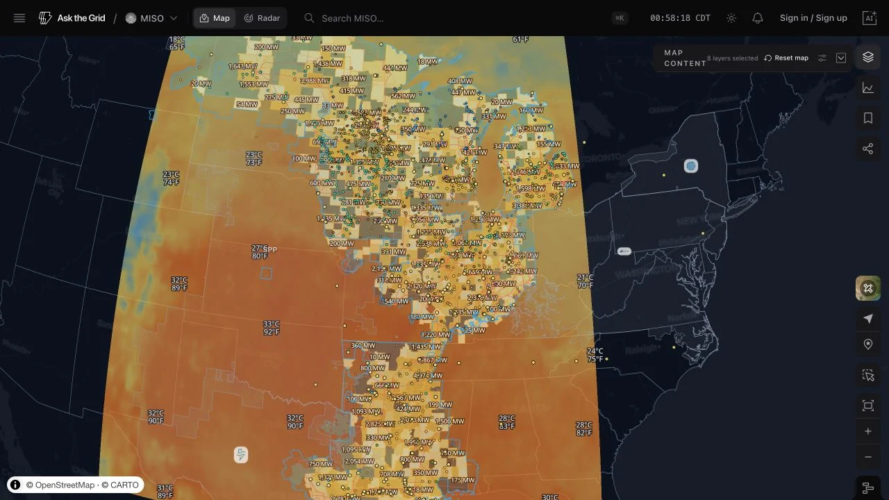
The MISO Map now combines the operator footprint and local resource zones with HIFLD transmission and substations, EIA-860 generation, geolocated MISO settlement points, and nationwide weather overlays. The live layer picker names each source so the boundary between operator data and shared federal or weather data stays visible.
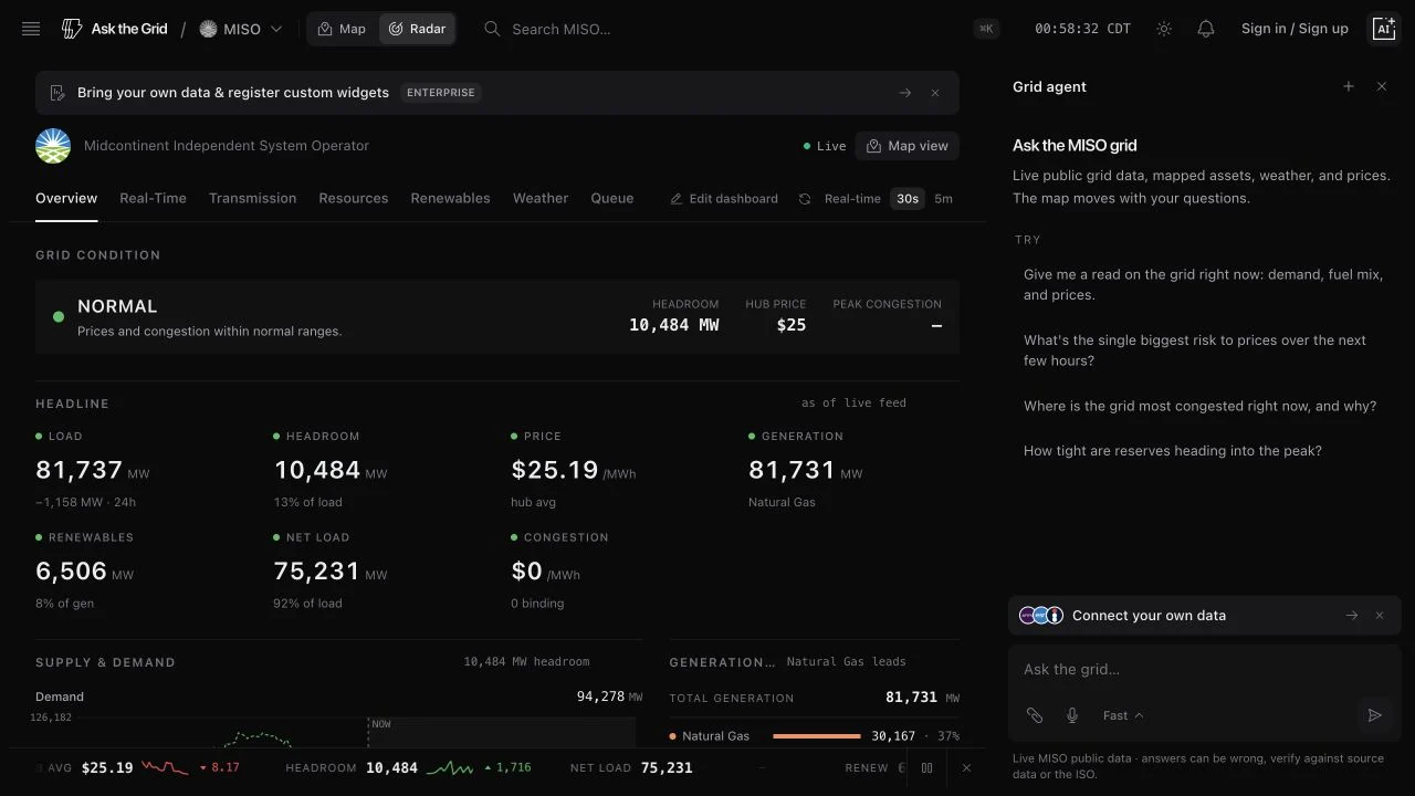
MISO Radar follows system demand, generation and fuel mix, headroom, real-time and day-ahead prices, local-resource-zone forecasts, weather, and the official generator interconnection queue. The first mirrored queue publication covers 3,800 projects; future publications will add the entry, exit, schedule-change, and evolution history.
The native grid agent and the dedicated MISO MCP endpoint use the same catalog and market scope, so questions and tool calls can move from a map selection to live MISO evidence without falling back to another ISO's terminology.