BPA transmission map: lines and substations
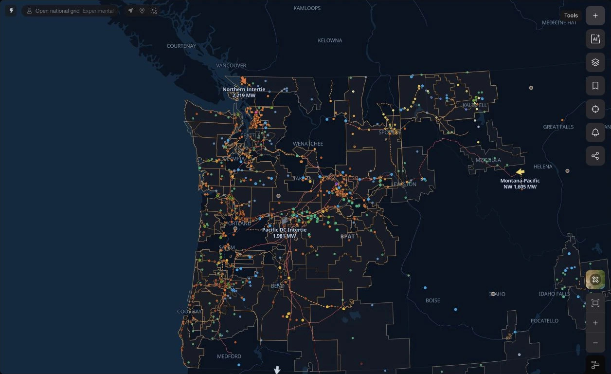
Explore public transmission lines and substations across the Pacific Northwest, alongside regional grid geography. Open the map to locate a site and inspect the infrastructure around it.
See it on the live BPA map, updating as the market publishes.
Explore the BPA transmission mapAbout this view
Locate BPA transmission infrastructure
The map uses public HIFLD transmission-line and substation records across the Pacific Northwest. Inspect the published names, geometry and voltage fields where available, with regional grid geography for orientation.
Put a site in its grid context
Use the map to compare a site with nearby substations, lines and other available layers. The public inventory describes infrastructure geography; proximity to a line does not establish a connection point, available capacity or an approved interconnection.
Questions
What does this map show?
The transmission lines and substations published in the HIFLD public inventory, drawn across BPA's balancing area. It is geographic reference data — the operational network model, line ratings, and real-time flows stay with BPA and the transmission owners it interconnects.
Is BPA a market like ERCOT or PJM?
No. BPA is a federal power marketing administration that runs the Northwest's high-voltage hydro-system grid. It runs no LMP market — prices at BPA locations shown elsewhere on Ask the Grid are CAISO's Western Energy Imbalance Market prices, not a BPA market clearing price.
Can I tell from the map where a project can interconnect?
It shows where the public network geography runs, which is the starting point. Whether a specific point of interconnection works is settled by BPA's own transmission service and interconnection studies.
Will the map open with these layers?
Yes. It opens the live BPA workspace with the same transmission and substation layers and the same viewport shown on this page.