SPP Region power outage map
See reported customer power outages across Kansas, Nebraska, Oklahoma and the Dakotas, with counties ranked by meters out. Open the outage map to explore affected counties and the utilities reporting them.
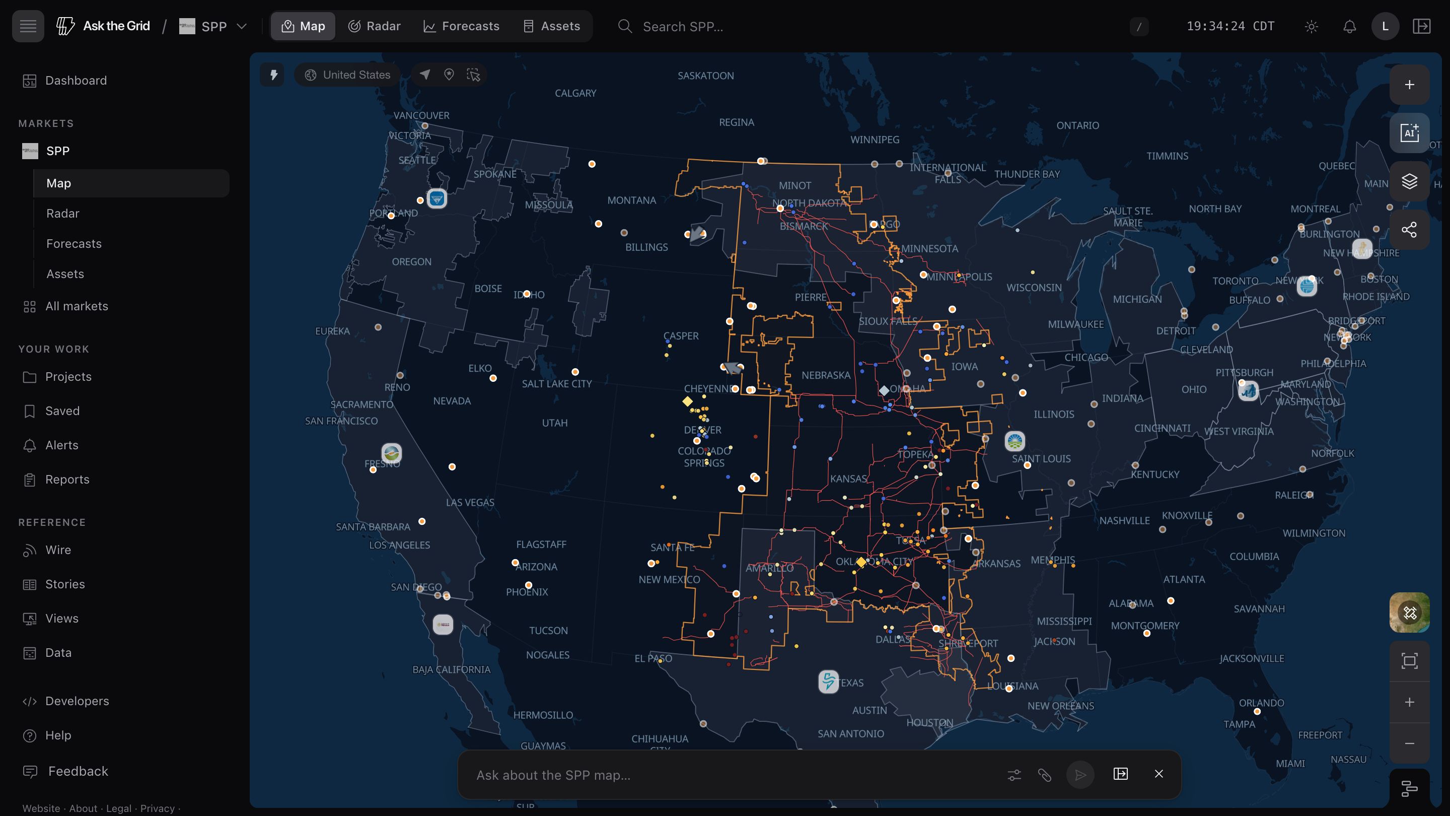
See it on the live SPP map, updating as the market publishes.
Explore the SPP outage mapAbout this view
See customer outage reports by county
The table shows counties with active customer outage reports across Kansas, Nebraska, Oklahoma and the Dakotas, using ODIN outage data. Counts describe reported meters without service and reflect the utilities and observations available in the source.
Investigate an affected county
Open the map to select a county and inspect its outage reports alongside the surrounding grid. Customer outage counts do not identify a failed transmission line or establish that the regional grid operator has declared an emergency.
Questions
Is every SPP utility on this map?
No. The footprint is drawn by state, and only the five states at SPP's core are included. SPP also serves parts of Texas, New Mexico, Arkansas, Louisiana, Missouri, and states further north and west that are not shown here, and North Dakota is shared with MISO.
Is “meters out” the same as customers without power?
It's ODIN's own unit — a meter, not a person or household count. Treat it as a consistent relative measure across counties, not a precise customer-impact figure.
How current is this data?
It reflects ODIN's most recent poll of reporting utilities, typically updated every few minutes to a few hours depending on the utility. A county with no active outage row simply had none reported at the last poll.
Will the map open with these layers?
Yes. It carries the same layers, viewport, and timeline state shown on this page into the live SPP workspace.