Manitoba Hydro grid conditions, right now
Manitoba Hydro · Manitoba
Explore generating facilities, transmission lines and substations across Manitoba. Select a facility to inspect its published identity, location, fuel, capacity and the sources behind the record.
Manitoba Hydro on the live map
LiveWhat you can ask Manitoba Hydro
Open the agentClick any question to open it in the live agent with the market already selected. The answer keeps its sources attached.
What's live here
Every dataset, sourced2 coverage areas live today. Each row is backed by named source feeds in the public data catalog — cadence and provenance included.
| Coverage | Detail | Cadence | Status |
|---|---|---|---|
| Physical infrastructure | Generating facilities, transmission and substations, with published operator identities and source records. | — | Live |
| Provincial reference geography | Statistics Canada provincial outlines for navigation and the geographic inventory scope. | — | Live |
Live intelligence for Manitoba Hydro
Browse every live viewEverything Ask the Grid publishes on Manitoba Hydro, in one place — what the grid is doing now, where it is headed, and what has been written about it.
Coverage and analysis
Data and access
The product, as it runs
Real product screenshots, shown in full.
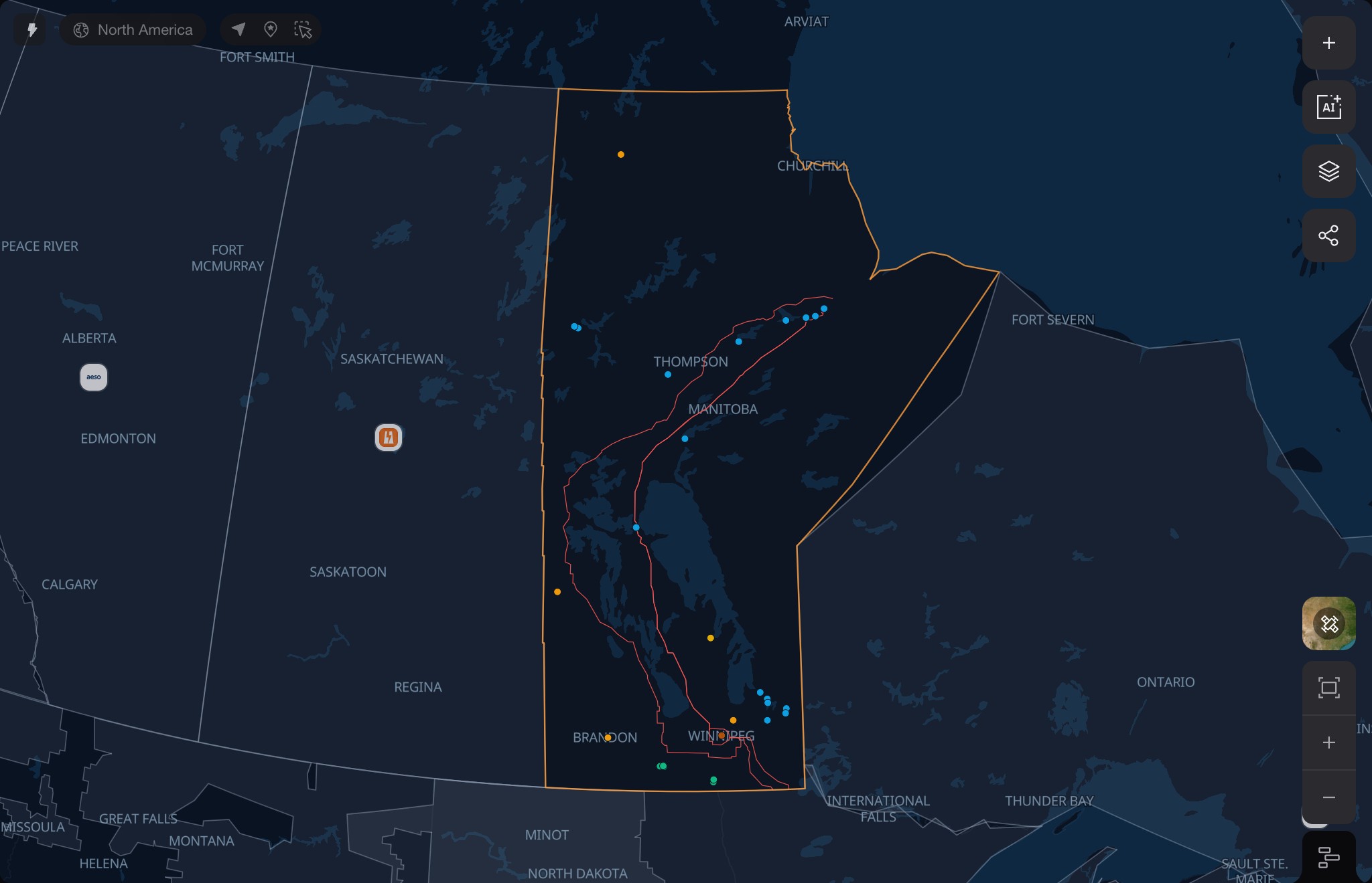
A geographic view of the physical system
The Manitoba Hydro map brings the infrastructure across Manitoba into one view. Provincial reference boundaries provide geographic context while individual records retain their published facility operators.
Generation records combine Natural Resources Canada's NACEI atlas with mapped OpenStreetMap sites. Transmission lines and substations carry the names, voltage and geometry their sources publish. Inventory geography describes where a facility is, while its source record describes who operates it.
Read the market's language
Full glossaryAsk Manitoba Hydro what changed.
Open the live market and begin with a question, a place, or an interval.